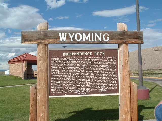
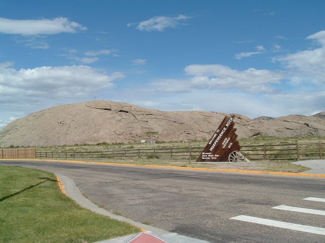
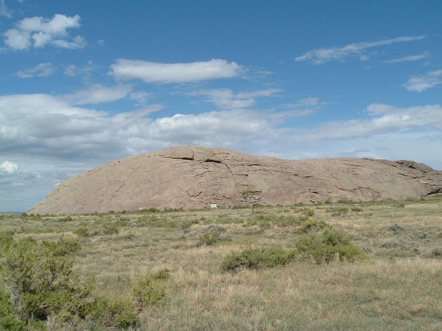
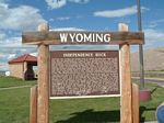
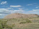
| Independence Rock |
One of the most-recognized natural landmarks on the trail, this huge
granite outcropping took on a lot of importance as the trails moved westward. The name Independence Rock comes from a
simple fact of the calendar -- if wagon trains didn't reach this spot close to the 4th of July, they were unlikely to
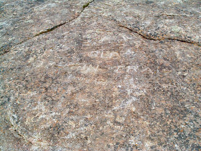
make it through the mountains passes safely before winter set in. The relatively flat surfaces of the rock led to another
important role for the rock -- that of a message board. Travelers carved their names and the date into the rock. Later
travelers could then search for the names of family or friends to know that they had made it that far.
|
| |
|
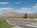
Just outside the Independence Rock visitor's center. |
| |
|
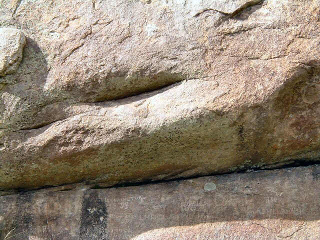
Independence Rock. |
| |
|
|
| |
|
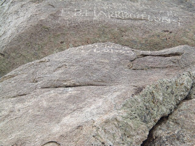
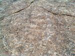
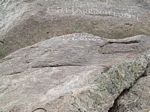
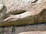
Look closely -- some of the original carving on the rock. |
| |
|
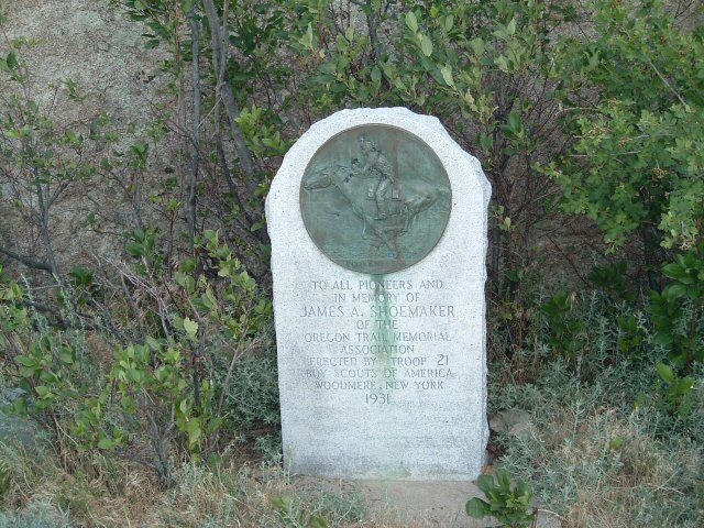
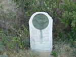
A marker commemorating the Pony Express trail, which ran right by Independence Rock. |
| |
|
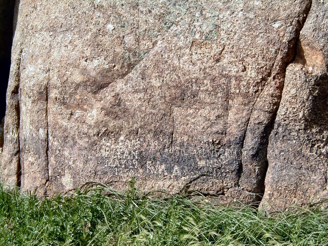
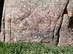
More names and dates on the Rock. |
| |
|
|
| |
|
|
| |
|
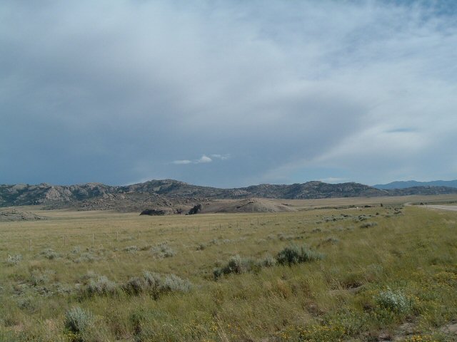
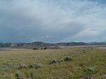
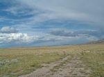
Based on research done on the Pony Express Trail, the actual Sweetwater Station was located approximately 1 mile
from Independence Rock. This photo is taken from about that distance. |
| |
|
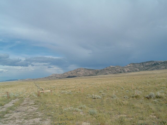
There is nothing left of the Sweetwater Station, but it would have been located just in front of the rocks
at the rear of the photo. |
| |

|
Another view of the Sweetwater Station area. |
| |
|
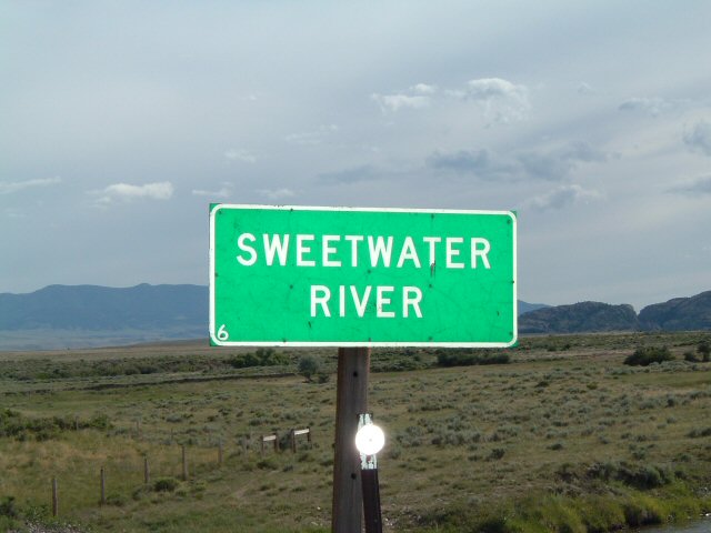
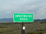
Crossing the Sweetwater River. |