| Sweetwater Country |
After the final crossing of the Platte River, the main trails followed
the Sweetwater River toward the last huge hurdle on the pioneer trail -- right into the heart of the Rockies. There are
more natural landmarks along the way.
|
| |
|
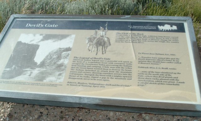
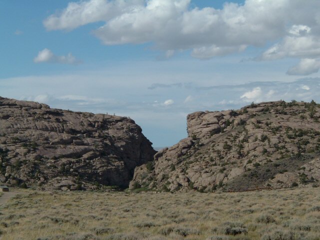
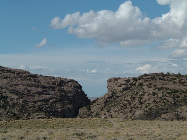
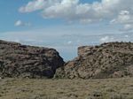
Devil's Gate was carved out of the rock by the passage of the Sweetwater River. |
| |
|
Devil's Gate. |
| |
|
|
| |
|
|
| |
|
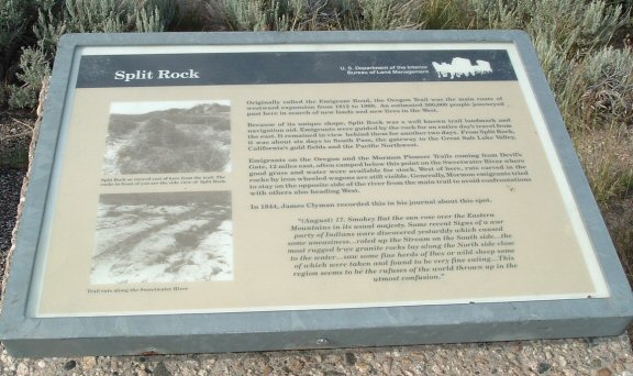
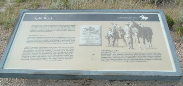
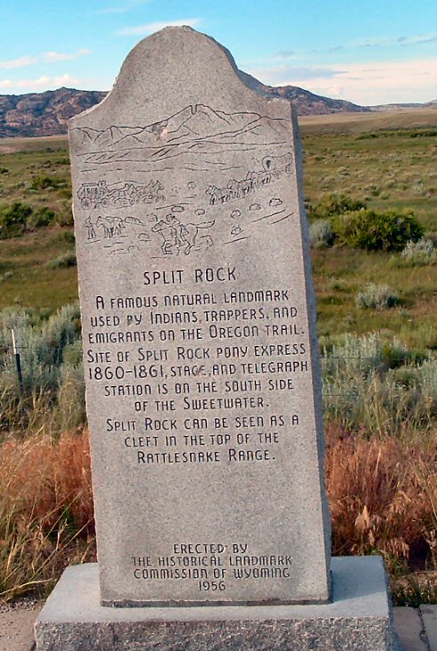
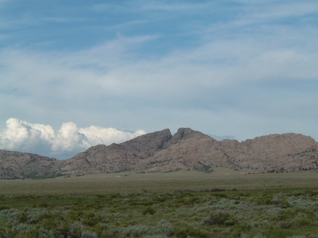
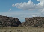
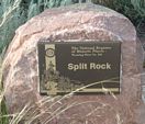
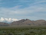
Split Rock, another natural landmark for navigation. |
| |
|
|
| |

|
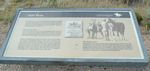
The Pony Express and Split Rock. |
| |
|
|
| |
|
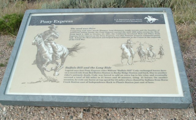
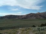
In addition to the Sweetwater Station (back by Independence Rock), there was also an Upper Sweetwater Station,
which would have been not far from here. Given the distance to the town of Sweetwater, it would be more likely
that "our" riders would have been based at Upper Sweetwater. |
| |
|
|
| |
|
|
| |
|
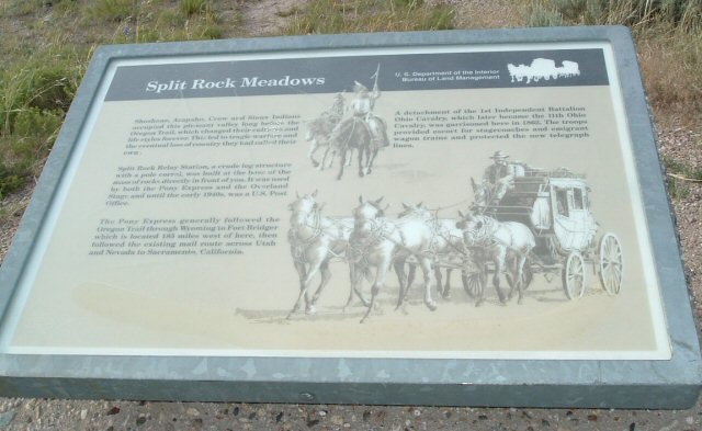
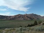
Another view of Split Rock and the Sweetwater Station area. |
| |
|
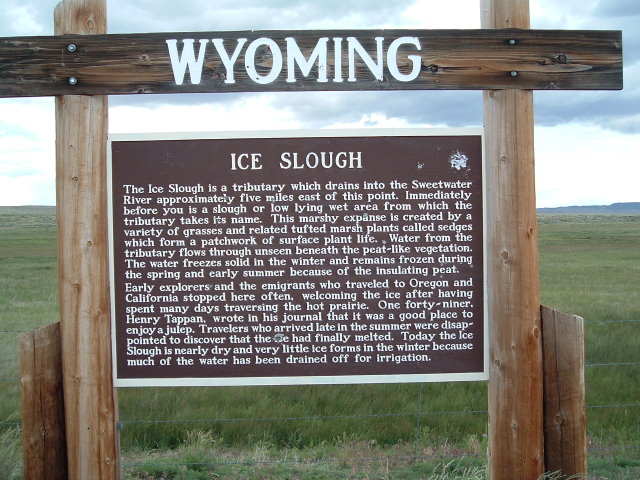
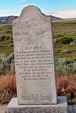
There is a natural ice slough located between Split Rock and Sweetwater. Ice formed each winter and, due to natural conditions, often
remained until August or September of the next year. This might have been the source for the ice to make Teaspoon's
special "ice cream." |
| |

|
A "blink and you'll miss it" town today, this is Sweetwater. |